Wadis – Underground Water Paths
Wadis – Underground Water Paths
 Wadis – Locating Underground Water Paths
Wadis are areas where underground water raises mostly during the rainy season and during the rest of the year it flows through rocky, mountainous terrain creating a complex underground water path.
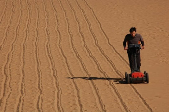
Geophysical investigations of the hydrogeological conditions of the subsurface reveal the path of the underground water.
In addition to that GPR and ERT can determine the depth of the ground water table (GWT) and does monitor shallow water infiltration in sandy soils.
Main advantages
- Locating and mapping underground water flow paths
- Ground water table depth calculation