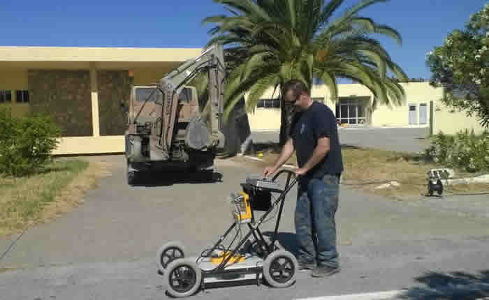
Mapping utilities at Jubail, Saudi Arabia
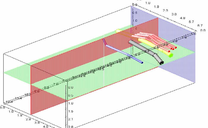
Mapping utilities at Jubail, Saudi Arabia, Combining parallel profiles we aquire a 3D model of the utillities at the investigation area..
Mapping utilities at Jubail, Saudi Arabia, Combining parallel profiles we aquire a 3D model of the utillities at the investigation area..