Utility mapping
Utility mapping
Utility location and mapping is a serious concern prior to any excavation.
GPR is a beneficial tool due to its capability to define location and depth of metallic and non-metallic utilities. Our utility locators use a combination of cable/pipe locator and GPR technology to locate underground utilities:
Methodology:
The following techniques and technologies are combined to achieve our objectives:
- Ground penetrating radar (GPR)
- Radio-frequency locators (i.e. not basic CATs) in active & passive modes
- Cover lifting, threading, signal induction
- Cross referenced against Statutory Undertakers Records
 You can also visit our utility sister company : www.utilitysurvey.co.uk
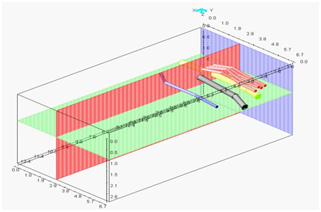
After processing and interpretation of collected data, location and depth of detected utilities can be defined and visualized into 3D reports
Results and findings are provided in DWG (AutoCAD) format
